166-198 Camberwell New Road
Introduction
The photograph on this page of 166-198 Camberwell New Road by Stephen Richards as part of the Geograph project.
The Geograph project started in 2005 with the aim of publishing, organising and preserving representative images for every square kilometre of Great Britain, Ireland and the Isle of Man.

There are currently over 7.5m images from over 14,400 individuals and you can help contribute to the project by visiting https://www.geograph.org.uk
166-198 Camberwell New Road
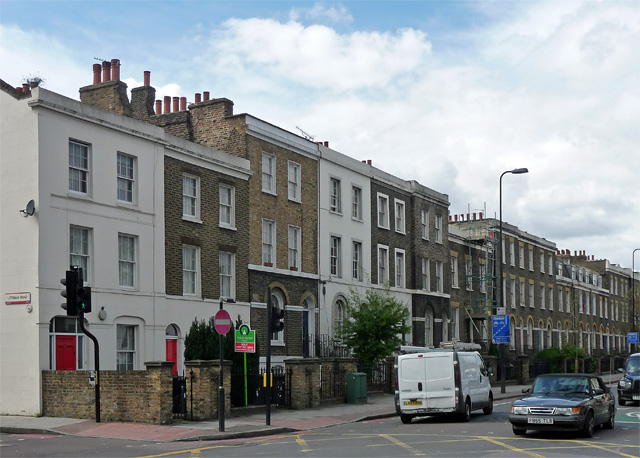
Image: © Stephen Richards Taken: 21 Apr 2012
A mixture of schemes, mostly dating from the 1830s. Some continuous runs and pretty much everything here is of three storeys plus basement and two bays wide. Grade II listed.
Images are licensed for reuse under creativecommons.org/licenses/by-sa/2.0
Image Location
Latitude
51.477398
Longitude
-0.101937