Between the Cemetery and the Marsh
Introduction
The photograph on this page of Between the Cemetery and the Marsh by Chris as part of the Geograph project.
The Geograph project started in 2005 with the aim of publishing, organising and preserving representative images for every square kilometre of Great Britain, Ireland and the Isle of Man.

There are currently over 7.5m images from over 14,400 individuals and you can help contribute to the project by visiting https://www.geograph.org.uk
Between the Cemetery and the Marsh
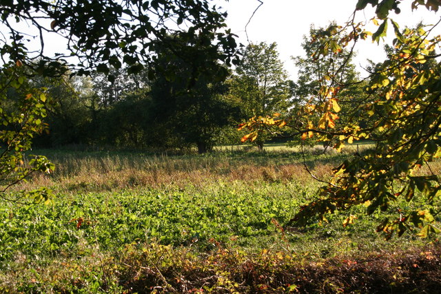
Image: © Chris Taken: 22 Sep 2013
Indian summer, and an autumn tinge in the field next to the Howden Marsh Local Nature Reserve.
Images are licensed for reuse under creativecommons.org/licenses/by-sa/2.0
Image Location
Latitude
53.74491
Longitude
-0.876845