All Saints, Orpington: south end
Introduction
The photograph on this page of All Saints, Orpington: south end by Stephen Craven as part of the Geograph project.
The Geograph project started in 2005 with the aim of publishing, organising and preserving representative images for every square kilometre of Great Britain, Ireland and the Isle of Man.

There are currently over 7.5m images from over 14,400 individuals and you can help contribute to the project by visiting https://www.geograph.org.uk
All Saints, Orpington: south end
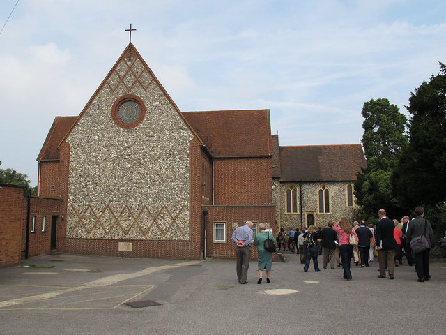
Image: © Stephen Craven Taken: 24 Sep 2013
Another, more local contributor gives a detailed history of this church at Image This view is of the south end of the 1957 extension (the present chancel).
Images are licensed for reuse under creativecommons.org/licenses/by-sa/2.0
Image Location


Leaflet Map data © OpenStreetMap
Latitude
51.377628
Longitude
0.105741