Canal and Towpath
Introduction
The photograph on this page of Canal and Towpath by Anne Burgess as part of the Geograph project.
The Geograph project started in 2005 with the aim of publishing, organising and preserving representative images for every square kilometre of Great Britain, Ireland and the Isle of Man.

There are currently over 7.5m images from over 14,400 individuals and you can help contribute to the project by visiting https://www.geograph.org.uk
Canal and Towpath
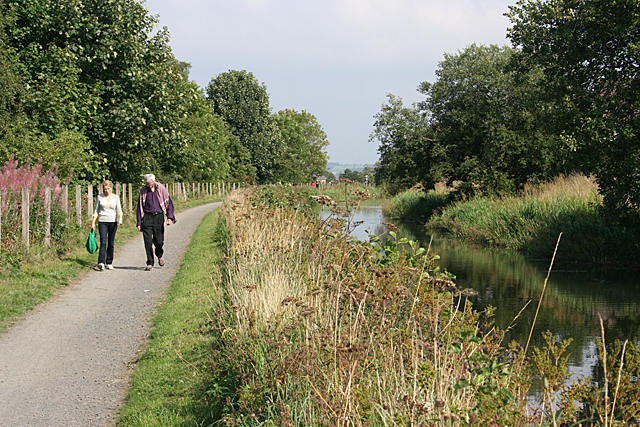
Image: © Anne Burgess Taken: 26 Aug 2013
I think this was probably the busiest stretch of towpath I've been on so far - it certainly seemed to be very popular with folk of all ages.
Images are licensed for reuse under creativecommons.org/licenses/by-sa/2.0
Image Location
Latitude
55.984815
Longitude
-3.72219