Horsepool Street, Higher Brixham
Introduction
The photograph on this page of Horsepool Street, Higher Brixham by Tom Jolliffe as part of the Geograph project.
The Geograph project started in 2005 with the aim of publishing, organising and preserving representative images for every square kilometre of Great Britain, Ireland and the Isle of Man.

There are currently over 7.5m images from over 14,400 individuals and you can help contribute to the project by visiting https://www.geograph.org.uk
Horsepool Street, Higher Brixham
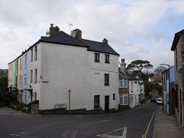
Image: © Tom Jolliffe Taken: 15 Mar 2007
Opposite the Waterman's Arms. The name of the street no doubt signifies its use in the past, as a small stream flows down to Lower Brixham
Images are licensed for reuse under creativecommons.org/licenses/by-sa/2.0
Image Location
Latitude
50.386192
Longitude
-3.521077