House below the road at Dardy
Introduction
The photograph on this page of House below the road at Dardy by Christine Johnstone as part of the Geograph project.
The Geograph project started in 2005 with the aim of publishing, organising and preserving representative images for every square kilometre of Great Britain, Ireland and the Isle of Man.

There are currently over 7.5m images from over 14,400 individuals and you can help contribute to the project by visiting https://www.geograph.org.uk
House below the road at Dardy
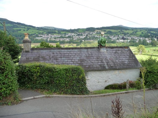
Image: © Christine Johnstone Taken: 14 Sep 2013
Virtually no view of the canal, where the photographer is standing, but a fine view north-eastwards over the Usk valley and Crickhowell.
Images are licensed for reuse under creativecommons.org/licenses/by-sa/2.0
Image Location


Leaflet Map data © OpenStreetMap
Latitude
51.858439
Longitude
-3.152887