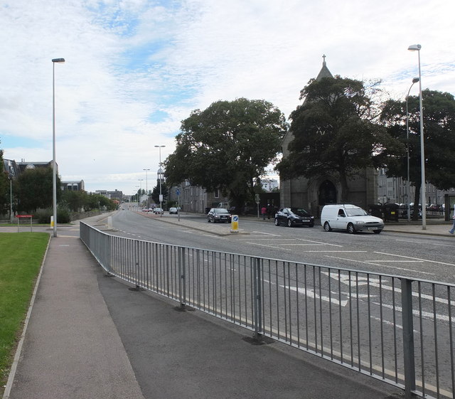
Powis Place/Causewayend, Aberdeen
Introduction
The photograph on this page of Powis Place/Causewayend, Aberdeen by Bill Harrison as part of the Geograph project.
The Geograph project started in 2005 with the aim of publishing, organising and preserving representative images for every square kilometre of Great Britain, Ireland and the Isle of Man.
There are currently over 7.5m images from over 14,400 individuals and you can help contribute to the project by visiting https://www.geograph.org.uk

Image: © Bill Harrison Taken: 21 Sep 2013
Powis Place, which changes name to Causewayend about half way down, was turned into a dual carriageway in the 1960s amid wholescale residential demolition. The former Powis Church (now flats) lurks behind the trees in the right foreground and the cupola of St Stephen's Church (originally Causewayend Free Church) is just visible in the background.

