Stubble, west of East Layton road
Introduction
The photograph on this page of Stubble, west of East Layton road by Andy Waddington as part of the Geograph project.
The Geograph project started in 2005 with the aim of publishing, organising and preserving representative images for every square kilometre of Great Britain, Ireland and the Isle of Man.

There are currently over 7.5m images from over 14,400 individuals and you can help contribute to the project by visiting https://www.geograph.org.uk
Stubble, west of East Layton road
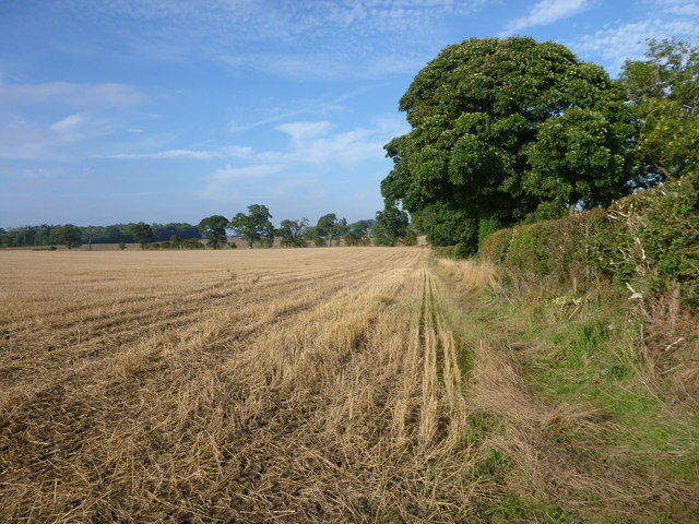
Image: © Andy Waddington Taken: 23 Sep 2013
Some quite big fields in the relatively flat land as you get east of Barnard Castle on the A66. This one is north of the busy main road, west of the leafy lane that leads to East Layton, with a mostly hawthorn hedge, and Sycamore and Ash as the main hedgerow trees.
Images are licensed for reuse under creativecommons.org/licenses/by-sa/2.0
Image Location
Latitude
54.475222
Longitude
-1.76047