No Through Road
Introduction
The photograph on this page of No Through Road by Robert Ashby as part of the Geograph project.
The Geograph project started in 2005 with the aim of publishing, organising and preserving representative images for every square kilometre of Great Britain, Ireland and the Isle of Man.

There are currently over 7.5m images from over 14,400 individuals and you can help contribute to the project by visiting https://www.geograph.org.uk
No Through Road
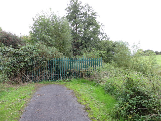
Image: © Robert Ashby Taken: 22 Sep 2013
The path beside the old Lagan Canal near Aghagallon comes to an abrupt end at this metal fence. Unfortunately nobody thought to put a notice to this effect at Cranagh Bridge a mile or so back. Many an unwitting walker and cyclist has had a wasted, though scenic, journey here. The path was to have formed a link to the Broadwater at Aghalee via Goudy Bridge which has not been completed, possibly because of access issues. Part of the National Cycle Network's Route 9 to Oxford Island.
Images are licensed for reuse under creativecommons.org/licenses/by-sa/2.0
Image Location
Latitude
54.512612
Longitude
-6.293697