Thatched House, corner of Southdown Hill Road, Brixham
Introduction
The photograph on this page of Thatched House, corner of Southdown Hill Road, Brixham by Tom Jolliffe as part of the Geograph project.
The Geograph project started in 2005 with the aim of publishing, organising and preserving representative images for every square kilometre of Great Britain, Ireland and the Isle of Man.

There are currently over 7.5m images from over 14,400 individuals and you can help contribute to the project by visiting https://www.geograph.org.uk
Thatched House, corner of Southdown Hill Road, Brixham
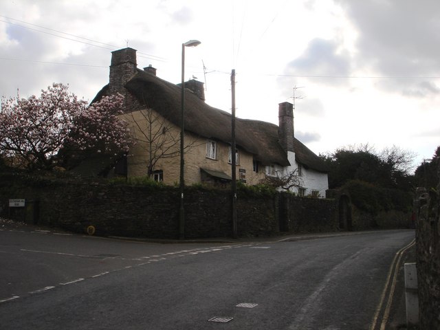
Image: © Tom Jolliffe Taken: 15 Mar 2007
There are still some thatched houses in Higher Brixham, known locally as "Cowtown", opposed to "Fishtown" nearer the centre.
Images are licensed for reuse under creativecommons.org/licenses/by-sa/2.0
Image Location
Latitude
50.383818
Longitude
-3.523814