Field at Upper Woodhouse Farm
Introduction
The photograph on this page of Field at Upper Woodhouse Farm by Trevor Littlewood as part of the Geograph project.
The Geograph project started in 2005 with the aim of publishing, organising and preserving representative images for every square kilometre of Great Britain, Ireland and the Isle of Man.

There are currently over 7.5m images from over 14,400 individuals and you can help contribute to the project by visiting https://www.geograph.org.uk
Field at Upper Woodhouse Farm
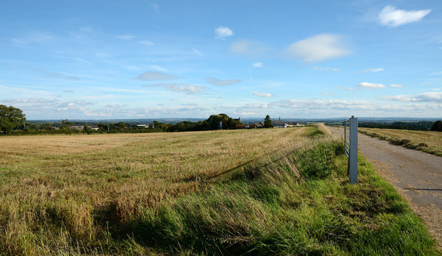
Image: © Trevor Littlewood Taken: 21 Sep 2013
The field edge close beside the gate was once the location of the OS trig point known as Red Hill. Some years ago the pillar was found disturbed - http://www.geograph.org.uk/photo/1617600. The pillar is no longer in place but has been moved, reportedly, down the farm access road: see http://www.trigpointinguk.com/trigs/trig-details.php?t=5609.
Images are licensed for reuse under creativecommons.org/licenses/by-sa/2.0
Image Location
Latitude
52.694552
Longitude
-2.403746