Rochdale: King Street
Introduction
The photograph on this page of Rochdale: King Street by Dr Neil Clifton as part of the Geograph project.
The Geograph project started in 2005 with the aim of publishing, organising and preserving representative images for every square kilometre of Great Britain, Ireland and the Isle of Man.

There are currently over 7.5m images from over 14,400 individuals and you can help contribute to the project by visiting https://www.geograph.org.uk
Rochdale: King Street
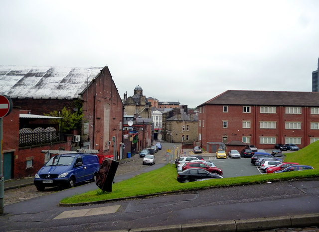
Image: © Dr Neil Clifton Taken: 21 Sep 2013
Looking north from its junction with Nelson Street. The ground on the right was formerly occupied by the large building which housed the Technical School, the Art School, the Municipal High School for Boys, and the Central School for Girls.
Images are licensed for reuse under creativecommons.org/licenses/by-sa/2.0
Image Location


Leaflet Map data © OpenStreetMap
Latitude
53.616053
Longitude
-2.157475