On the path to Nether Low
Introduction
The photograph on this page of On the path to Nether Low by Neil Theasby as part of the Geograph project.
The Geograph project started in 2005 with the aim of publishing, organising and preserving representative images for every square kilometre of Great Britain, Ireland and the Isle of Man.

There are currently over 7.5m images from over 14,400 individuals and you can help contribute to the project by visiting https://www.geograph.org.uk
On the path to Nether Low
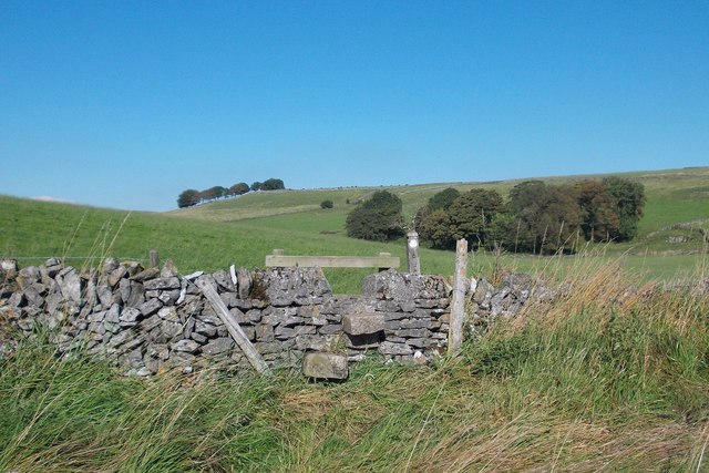
Image: © Neil Theasby Taken: 22 Sep 2013
Nether Low - on the horizon - contains a small bronze age burial mound which was excavated by the Victorian archaeologist Thomas Bateman who is himself buried at Middleton-by-Youlgrave. Ancient bones and artefacts were discovered.
Images are licensed for reuse under creativecommons.org/licenses/by-sa/2.0
Image Location
Latitude
53.214896
Longitude
-1.843772