Main Street, Shap (A6)
Introduction
The photograph on this page of Main Street, Shap (A6) by G Laird as part of the Geograph project.
The Geograph project started in 2005 with the aim of publishing, organising and preserving representative images for every square kilometre of Great Britain, Ireland and the Isle of Man.

There are currently over 7.5m images from over 14,400 individuals and you can help contribute to the project by visiting https://www.geograph.org.uk
Main Street, Shap (A6)
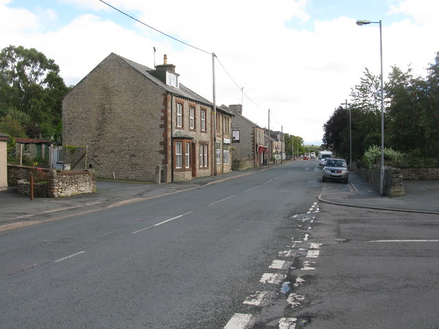
Image: © G Laird Taken: 18 Sep 2013
In the past, prior to the opening of the M6, this was the main west coast route north and south. It was extremely busy and very slow going.
Images are licensed for reuse under creativecommons.org/licenses/by-sa/2.0
Image Location
Latitude
54.529911
Longitude
-2.677083