Acres Rise becomes Springfield
Introduction
The photograph on this page of Acres Rise becomes Springfield by David Anstiss as part of the Geograph project.
The Geograph project started in 2005 with the aim of publishing, organising and preserving representative images for every square kilometre of Great Britain, Ireland and the Isle of Man.

There are currently over 7.5m images from over 14,400 individuals and you can help contribute to the project by visiting https://www.geograph.org.uk
Acres Rise becomes Springfield
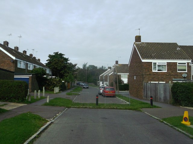
Image: © David Anstiss Taken: 21 Sep 2013
This long road has lots of houses (either-side) down in, but half way it is blocked to road traffic and changes names.
Images are licensed for reuse under creativecommons.org/licenses/by-sa/2.0
Image Location
Latitude
51.046205
Longitude
0.413828