Croydon: Wandle Road multi-storey car park
Introduction
The photograph on this page of Croydon: Wandle Road multi-storey car park by Christopher Hilton as part of the Geograph project.
The Geograph project started in 2005 with the aim of publishing, organising and preserving representative images for every square kilometre of Great Britain, Ireland and the Isle of Man.

There are currently over 7.5m images from over 14,400 individuals and you can help contribute to the project by visiting https://www.geograph.org.uk
Croydon: Wandle Road multi-storey car park
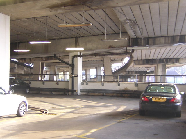
Image: © Christopher Hilton Taken: 26 Apr 2012
Most of Wandle Road multi-storey car park rises to the south of Croydon Flyover, but the lower levels extend north underneath the flyover and its slip roads.
Images are licensed for reuse under creativecommons.org/licenses/by-sa/2.0
Image Location
Latitude
51.370198
Longitude
-0.101489