Roundabout at the end of Windmill Lane, Osterley
Introduction
The photograph on this page of Roundabout at the end of Windmill Lane, Osterley by David Howard as part of the Geograph project.
The Geograph project started in 2005 with the aim of publishing, organising and preserving representative images for every square kilometre of Great Britain, Ireland and the Isle of Man.

There are currently over 7.5m images from over 14,400 individuals and you can help contribute to the project by visiting https://www.geograph.org.uk
Roundabout at the end of Windmill Lane, Osterley
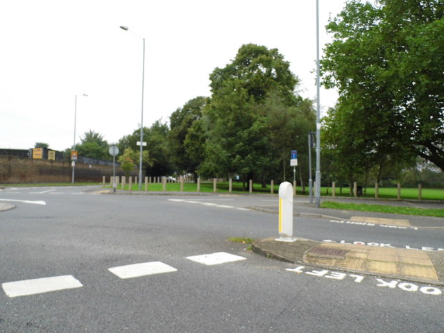
Image: © David Howard Taken: 21 Sep 2013
Jersey Road to the left, Syon Lane to the right. There is also a footpath to Osterley Lane.
Images are licensed for reuse under creativecommons.org/licenses/by-sa/2.0
Image Location
Latitude
51.489092
Longitude
-0.339266