Nith Valley View
Introduction
The photograph on this page of Nith Valley View by Mary and Angus Hogg as part of the Geograph project.
The Geograph project started in 2005 with the aim of publishing, organising and preserving representative images for every square kilometre of Great Britain, Ireland and the Isle of Man.

There are currently over 7.5m images from over 14,400 individuals and you can help contribute to the project by visiting https://www.geograph.org.uk
Nith Valley View
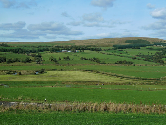
Image: © Mary and Angus Hogg Taken: 20 Sep 2013
Looking across the Nith Valley from a field beside the A76 trunk road. The river meanders across a very wide valley that was shaped during the last Ice Age.
Images are licensed for reuse under creativecommons.org/licenses/by-sa/2.0
Image Location
Latitude
55.393014
Longitude
-4.13959