Choice of paths
Introduction
The photograph on this page of Choice of paths by John Slater as part of the Geograph project.
The Geograph project started in 2005 with the aim of publishing, organising and preserving representative images for every square kilometre of Great Britain, Ireland and the Isle of Man.

There are currently over 7.5m images from over 14,400 individuals and you can help contribute to the project by visiting https://www.geograph.org.uk
Choice of paths
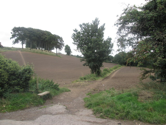
Image: © John Slater Taken: 20 Sep 2013
To the left is a well-used but non-definitive path towards Bates Hill. To the right is the public footpath to Carleton
Images are licensed for reuse under creativecommons.org/licenses/by-sa/2.0
Image Location
Latitude
53.680978
Longitude
-1.298839