Road to Hartburn and Morpeth
Introduction
The photograph on this page of Road to Hartburn and Morpeth by Barbara Carr as part of the Geograph project.
The Geograph project started in 2005 with the aim of publishing, organising and preserving representative images for every square kilometre of Great Britain, Ireland and the Isle of Man.

There are currently over 7.5m images from over 14,400 individuals and you can help contribute to the project by visiting https://www.geograph.org.uk
Road to Hartburn and Morpeth
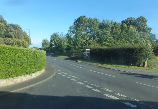
Image: © Barbara Carr Taken: 15 Sep 2013
Looking eastward from the road junction at Scot's Gap. (The telephone box is more accurately positioned on the larger-scale map.)
Images are licensed for reuse under creativecommons.org/licenses/by-sa/2.0
Image Location
Latitude
55.1727
Longitude
-1.937957