A467 in a former railway route in the south of Blaina
Introduction
The photograph on this page of A467 in a former railway route in the south of Blaina by Jaggery as part of the Geograph project.
The Geograph project started in 2005 with the aim of publishing, organising and preserving representative images for every square kilometre of Great Britain, Ireland and the Isle of Man.

There are currently over 7.5m images from over 14,400 individuals and you can help contribute to the project by visiting https://www.geograph.org.uk
A467 in a former railway route in the south of Blaina
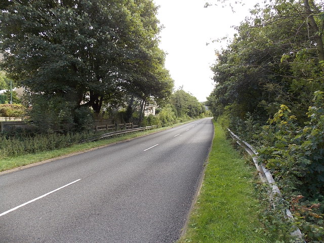
Image: © Jaggery Taken: 18 Sep 2013
The road here uses the trackbed of a dismantled railway. This view is looking towards the former Bournville (Mon) Halt. Blaina railway station was 750 metres behind the camera. Passenger services on this route ended in 1962.
Images are licensed for reuse under creativecommons.org/licenses/by-sa/2.0
Image Location
Latitude
51.756504
Longitude
-3.159271