Field between the Beaulieu River and North Lane, New Forest
Introduction
The photograph on this page of Field between the Beaulieu River and North Lane, New Forest by Jim Champion as part of the Geograph project.
The Geograph project started in 2005 with the aim of publishing, organising and preserving representative images for every square kilometre of Great Britain, Ireland and the Isle of Man.

There are currently over 7.5m images from over 14,400 individuals and you can help contribute to the project by visiting https://www.geograph.org.uk
Field between the Beaulieu River and North Lane, New Forest
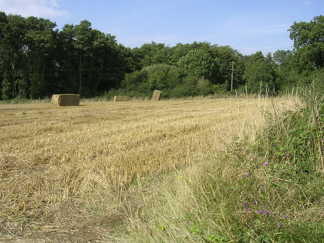
Image: © Jim Champion Taken: 11 Aug 2005
The trees on the far side of the field are growing on the banks of the Beaulieu River, which is getting wider as it approaches the Mill Dam at the Abbey.
Images are licensed for reuse under creativecommons.org/licenses/by-sa/2.0
Image Location


Leaflet Map data © OpenStreetMap
Latitude
50.832486
Longitude
-1.460358