The Rodmill on the corner of Rangemore Drive and King's Drive
Introduction
The photograph on this page of The Rodmill on the corner of Rangemore Drive and King's Drive by Dave Spicer as part of the Geograph project.
The Geograph project started in 2005 with the aim of publishing, organising and preserving representative images for every square kilometre of Great Britain, Ireland and the Isle of Man.

There are currently over 7.5m images from over 14,400 individuals and you can help contribute to the project by visiting https://www.geograph.org.uk
The Rodmill on the corner of Rangemore Drive and King's Drive
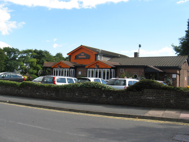
Image: © Dave Spicer Taken: 18 Sep 2013
Named after the small hamlet of Rodmill situated midway between Willingdon and Eastbourne before the expansion of Eastbourne.
Images are licensed for reuse under creativecommons.org/licenses/by-sa/2.0
Image Location
Latitude
50.785445
Longitude
0.267146