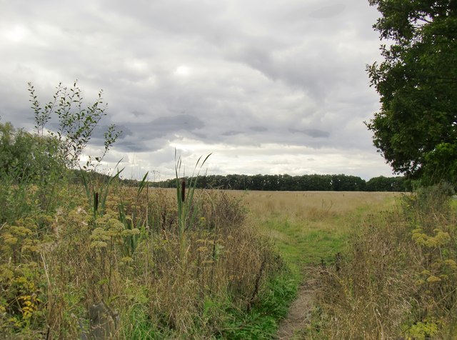
Effingham Common
Introduction
The photograph on this page of Effingham Common by Stefan Czapski as part of the Geograph project.
The Geograph project started in 2005 with the aim of publishing, organising and preserving representative images for every square kilometre of Great Britain, Ireland and the Isle of Man.
There are currently over 7.5m images from over 14,400 individuals and you can help contribute to the project by visiting https://www.geograph.org.uk

Image: © Stefan Czapski Taken: 18 Sep 2013
The common extends south from the railway line at Effingham Junction, and lies some distance north of Effingham village. I have to say that as I took this shot I wondered how this patch had survived as common land in a land-greedy county like Surrey - and whether, indeed, it could survive for much longer. It seems local people held out successfully against the lord of the manor at the time of the 18th century parliamentary enclosures - and even more remarkably, commoners' rights were re-established as recently as 1976, which should ensure the common's survival in perpetuity. http://www.surreycommunity.info/effinghamparishcouncil/local-history/commoners-days/

