Housing
Introduction
The photograph on this page of Housing by Paul McIlroy as part of the Geograph project.
The Geograph project started in 2005 with the aim of publishing, organising and preserving representative images for every square kilometre of Great Britain, Ireland and the Isle of Man.

There are currently over 7.5m images from over 14,400 individuals and you can help contribute to the project by visiting https://www.geograph.org.uk
Housing
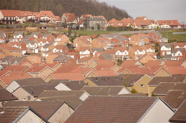
Image: © Paul McIlroy Taken: 14 Mar 2007
The grey stone building near the top of the picture is Letham Farm House it used to be one of the few buildings in the square which was mostly farmland. Dalgety Bay has expanded so much in this past ten years the house is now surrounded.
Images are licensed for reuse under creativecommons.org/licenses/by-sa/2.0
Image Location
Latitude
56.038403
Longitude
-3.368232