Through the hedge
Introduction
The photograph on this page of Through the hedge by David Clark as part of the Geograph project.
The Geograph project started in 2005 with the aim of publishing, organising and preserving representative images for every square kilometre of Great Britain, Ireland and the Isle of Man.

There are currently over 7.5m images from over 14,400 individuals and you can help contribute to the project by visiting https://www.geograph.org.uk
Through the hedge
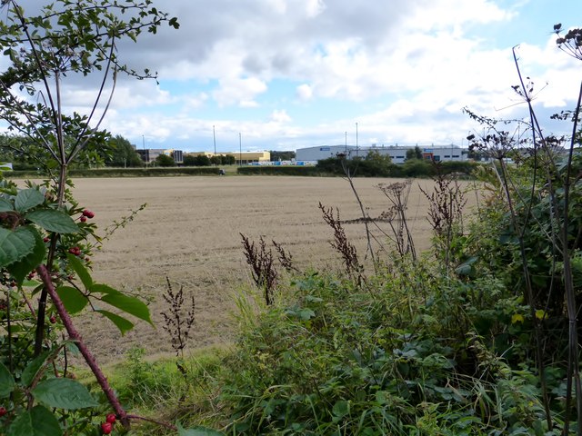
Image: © David Clark Taken: 18 Sep 2013
Greggs, taken from the cycle path that runs up the Old Salters Lane alongside The Gosforth park Nature Reserve.
Images are licensed for reuse under creativecommons.org/licenses/by-sa/2.0
Image Location


Leaflet Map data © OpenStreetMap
Latitude
55.023929
Longitude
-1.587971