Grange Terrace, Pelton Fell
Introduction
The photograph on this page of Grange Terrace, Pelton Fell by John Sutton as part of the Geograph project.
The Geograph project started in 2005 with the aim of publishing, organising and preserving representative images for every square kilometre of Great Britain, Ireland and the Isle of Man.

There are currently over 7.5m images from over 14,400 individuals and you can help contribute to the project by visiting https://www.geograph.org.uk
Grange Terrace, Pelton Fell
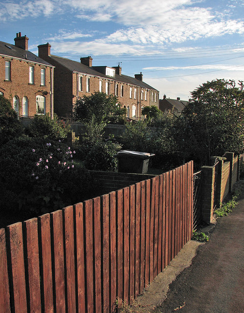
Image: © John Sutton Taken: 18 Sep 2013
Colliery cottages on a bright September morning. To the right are the single-storey old people's homes built in 1950 by Chester-le-Street Urban District Council.
Images are licensed for reuse under creativecommons.org/licenses/by-sa/2.0
Image Location
Latitude
54.858317
Longitude
-1.617232