High Street, Burford
Introduction
The photograph on this page of High Street, Burford by Dave Hitchborne as part of the Geograph project.
The Geograph project started in 2005 with the aim of publishing, organising and preserving representative images for every square kilometre of Great Britain, Ireland and the Isle of Man.

There are currently over 7.5m images from over 14,400 individuals and you can help contribute to the project by visiting https://www.geograph.org.uk
High Street, Burford
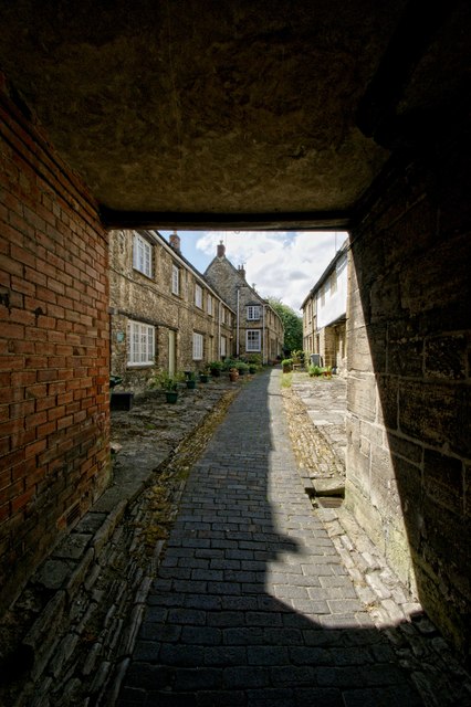
Image: © Dave Hitchborne Taken: 14 Jun 2013
Almost opposite Witney Street is a covered walkway leading to two rows of houses. The path meets the Old George Yard.
Images are licensed for reuse under creativecommons.org/licenses/by-sa/2.0
Image Location
Latitude
51.807608
Longitude
-1.637062