Chester-le-Street Viaduct
Introduction
The photograph on this page of Chester-le-Street Viaduct by John Sutton as part of the Geograph project.
The Geograph project started in 2005 with the aim of publishing, organising and preserving representative images for every square kilometre of Great Britain, Ireland and the Isle of Man.

There are currently over 7.5m images from over 14,400 individuals and you can help contribute to the project by visiting https://www.geograph.org.uk
Chester-le-Street Viaduct
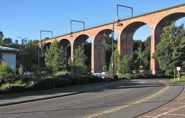
Image: © John Sutton Taken: 18 Sep 2013
The eleven-arch viaduct dates from 1868. For more about it, see http://www.imagesofengland.org.uk/Details/default.aspx?pid=2&id=109378 .
Images are licensed for reuse under creativecommons.org/licenses/by-sa/2.0
Image Location
Latitude
54.85873
Longitude
-1.579063