Parklands, Corbets Tey
Introduction
The photograph on this page of Parklands, Corbets Tey by Roger Jones as part of the Geograph project.
The Geograph project started in 2005 with the aim of publishing, organising and preserving representative images for every square kilometre of Great Britain, Ireland and the Isle of Man.

There are currently over 7.5m images from over 14,400 individuals and you can help contribute to the project by visiting https://www.geograph.org.uk
Parklands, Corbets Tey
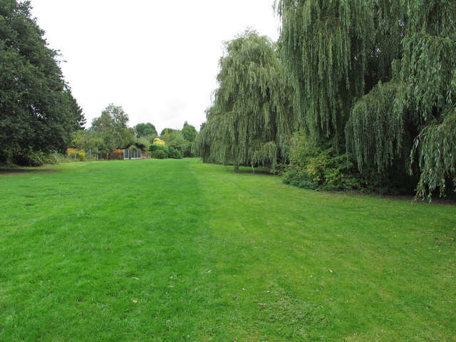
Image: © Roger Jones Taken: 14 Sep 2013
This is what remains of the parkland which surrounded the manor house at Gaynes, which was eventually demolished in 1929. The Parkland is open to the public. This section runs adjacent to a lake with an ornamental bridge http://www.geograph.org.uk/photo/747272.
Images are licensed for reuse under creativecommons.org/licenses/by-sa/2.0
Image Location
Latitude
51.543132
Longitude
0.244471