East of Cator Lane
Introduction
The photograph on this page of East of Cator Lane by Alan Murray-Rust as part of the Geograph project.
The Geograph project started in 2005 with the aim of publishing, organising and preserving representative images for every square kilometre of Great Britain, Ireland and the Isle of Man.

There are currently over 7.5m images from over 14,400 individuals and you can help contribute to the project by visiting https://www.geograph.org.uk
East of Cator Lane
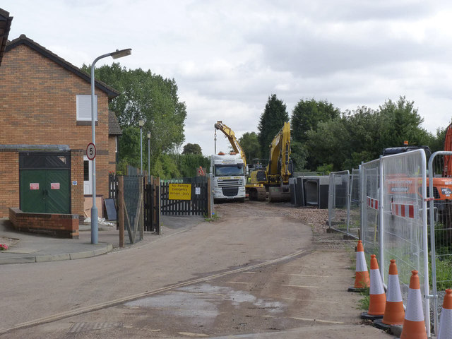
Image: © Alan Murray-Rust Taken: 13 Sep 2013
Serious work on the track bed is now beginning on the section between Cator Lane and Chilwell High Road.
Images are licensed for reuse under creativecommons.org/licenses/by-sa/2.0
Image Location
Latitude
52.9227
Longitude
-1.23038