Track to Redbricks
Introduction
The photograph on this page of Track to Redbricks by Robert Edwards as part of the Geograph project.
The Geograph project started in 2005 with the aim of publishing, organising and preserving representative images for every square kilometre of Great Britain, Ireland and the Isle of Man.

There are currently over 7.5m images from over 14,400 individuals and you can help contribute to the project by visiting https://www.geograph.org.uk
Track to Redbricks
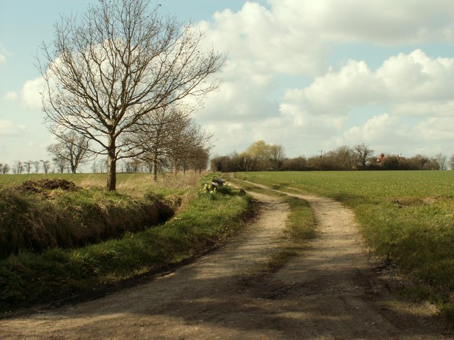
Image: © Robert Edwards Taken: 14 Mar 2007
It may be a farm, it may be just a house, the sign just says Redbricks.
Images are licensed for reuse under creativecommons.org/licenses/by-sa/2.0
Image Location
Latitude
52.203611
Longitude
1.313905