Bolingey
Introduction
The photograph on this page of Bolingey by Tony Atkin as part of the Geograph project.
The Geograph project started in 2005 with the aim of publishing, organising and preserving representative images for every square kilometre of Great Britain, Ireland and the Isle of Man.

There are currently over 7.5m images from over 14,400 individuals and you can help contribute to the project by visiting https://www.geograph.org.uk
Bolingey
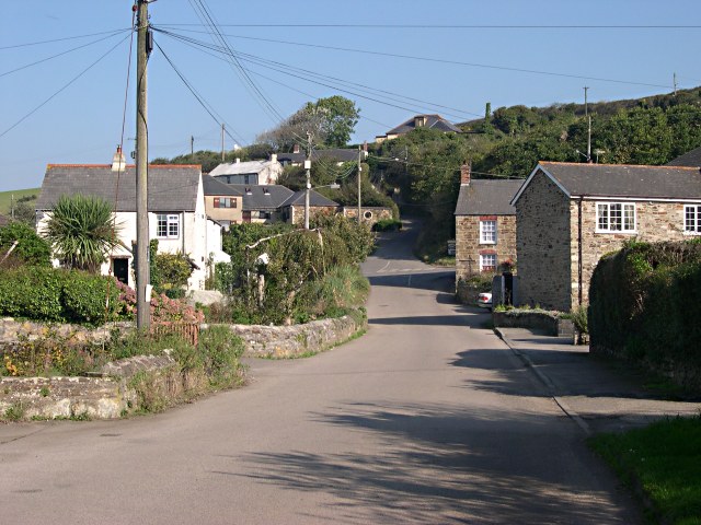
Image: © Tony Atkin Taken: 15 Oct 2005
The main part of Bolingey village is on the western side of the valley, behind the photographer. This picture shows the smaller eastern part of the village built on the flood plain of the valley and up on the eastern side.
Images are licensed for reuse under creativecommons.org/licenses/by-sa/2.0
Image Location
Latitude
50.338049
Longitude
-5.14109