Bungalows on The Meadway, Highcliffe
Introduction
The photograph on this page of Bungalows on The Meadway, Highcliffe by mike smith as part of the Geograph project.
The Geograph project started in 2005 with the aim of publishing, organising and preserving representative images for every square kilometre of Great Britain, Ireland and the Isle of Man.

There are currently over 7.5m images from over 14,400 individuals and you can help contribute to the project by visiting https://www.geograph.org.uk
Bungalows on The Meadway, Highcliffe
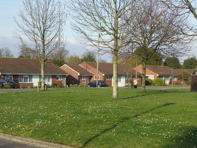
Image: © mike smith Taken: 14 Mar 2007
This is at the northern edge of a massive expanse of housing built since the 1960s, stretching south from the A35/railway line to the centre of Highcliffe.
Images are licensed for reuse under creativecommons.org/licenses/by-sa/2.0
Image Location
Latitude
50.750756
Longitude
-1.720418