B4246 passing under the former railway near Govilon
Introduction
The photograph on this page of B4246 passing under the former railway near Govilon by Christine Johnstone as part of the Geograph project.
The Geograph project started in 2005 with the aim of publishing, organising and preserving representative images for every square kilometre of Great Britain, Ireland and the Isle of Man.

There are currently over 7.5m images from over 14,400 individuals and you can help contribute to the project by visiting https://www.geograph.org.uk
B4246 passing under the former railway near Govilon
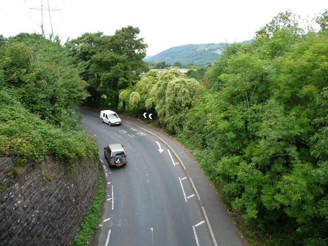
Image: © Christine Johnstone Taken: 11 Sep 2013
The former heads of the valleys railway line is now a footpath and cycleway. For a view from below, see Image
Images are licensed for reuse under creativecommons.org/licenses/by-sa/2.0
Image Location
Latitude
51.818706
Longitude
-3.046252