OS benchmark - Lanesfield, No 56 Spring Road
Introduction
The photograph on this page of OS benchmark - Lanesfield, No 56 Spring Road by Richard Law as part of the Geograph project.
The Geograph project started in 2005 with the aim of publishing, organising and preserving representative images for every square kilometre of Great Britain, Ireland and the Isle of Man.

There are currently over 7.5m images from over 14,400 individuals and you can help contribute to the project by visiting https://www.geograph.org.uk
OS benchmark - Lanesfield, No 56 Spring Road
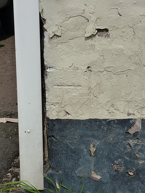
Image: © Richard Law Taken: 27 Aug 2013
OS cutmark on the south facing wall of no 56, which is currently (late 2013) a small shop. The mark has been made almost invisible by successive layers of masonry paint; all that's now really discernible is the horizontal cut. This mark was levelled at a height of 151.172m above Ordnance Datum Newlyn.
Images are licensed for reuse under creativecommons.org/licenses/by-sa/2.0
Image Location
Latitude
52.557439
Longitude
-2.101142