Former quarry
Introduction
The photograph on this page of Former quarry by Lairich Rig as part of the Geograph project.
The Geograph project started in 2005 with the aim of publishing, organising and preserving representative images for every square kilometre of Great Britain, Ireland and the Isle of Man.

There are currently over 7.5m images from over 14,400 individuals and you can help contribute to the project by visiting https://www.geograph.org.uk
Former quarry
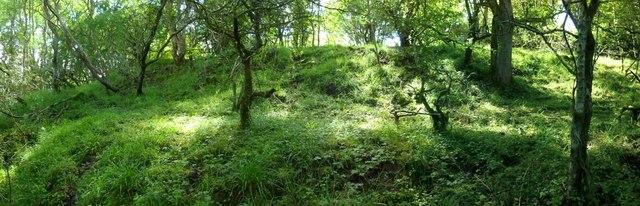
Image: © Lairich Rig Taken: 12 Aug 2013
The viewpoint is close to that of Image, in the low ground of the former quarry, but the present picture shows the slopes that make up the quarry's southern edge. The item just linked mentions that these slopes descend in terraces, and the present picture illustrates this more clearly. See Image for a view eastwards along the low ground of the former quarry.
Images are licensed for reuse under creativecommons.org/licenses/by-sa/2.0
Image Location
Latitude
55.973093
Longitude
-4.596241