Fields south of Cyffdy
Introduction
The photograph on this page of Fields south of Cyffdy by Trevor Littlewood as part of the Geograph project.
The Geograph project started in 2005 with the aim of publishing, organising and preserving representative images for every square kilometre of Great Britain, Ireland and the Isle of Man.

There are currently over 7.5m images from over 14,400 individuals and you can help contribute to the project by visiting https://www.geograph.org.uk
Fields south of Cyffdy
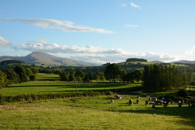
Image: © Trevor Littlewood Taken: 14 Sep 2013
The fields lie to the south of Cyffdy, once a farm with a number of associated buildings which have been converted to holiday accommodation. More unusual accommodation is in the field in the foreground; the raised wooden structures appear to be duck houses! Aran Benllyn is the obvious distant mountain.
Images are licensed for reuse under creativecommons.org/licenses/by-sa/2.0
Image Location
Latitude
52.893326
Longitude
-3.656143