Ropewalk Terrace Pembroke
Introduction
The photograph on this page of Ropewalk Terrace Pembroke by Jaggery as part of the Geograph project.
The Geograph project started in 2005 with the aim of publishing, organising and preserving representative images for every square kilometre of Great Britain, Ireland and the Isle of Man.

There are currently over 7.5m images from over 14,400 individuals and you can help contribute to the project by visiting https://www.geograph.org.uk
Ropewalk Terrace Pembroke
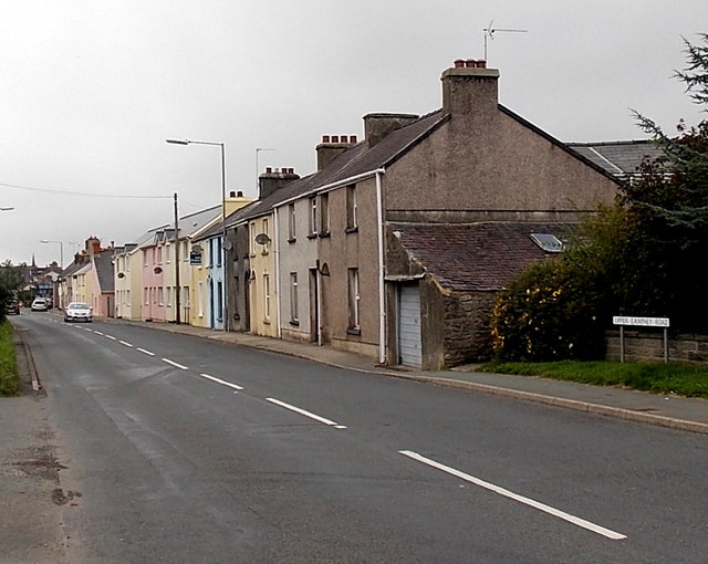
Image: © Jaggery Taken: 12 Sep 2013
Ropewalk Terrace is a row of houses on the north side of the A4139 Upper Lamphey Road.
Images are licensed for reuse under creativecommons.org/licenses/by-sa/2.0
Image Location


Leaflet Map data © OpenStreetMap
Latitude
51.673594
Longitude
-4.905197