Clickemin, Ponteland
Introduction
The photograph on this page of Clickemin, Ponteland by Barbara Carr as part of the Geograph project.
The Geograph project started in 2005 with the aim of publishing, organising and preserving representative images for every square kilometre of Great Britain, Ireland and the Isle of Man.

There are currently over 7.5m images from over 14,400 individuals and you can help contribute to the project by visiting https://www.geograph.org.uk
Clickemin, Ponteland
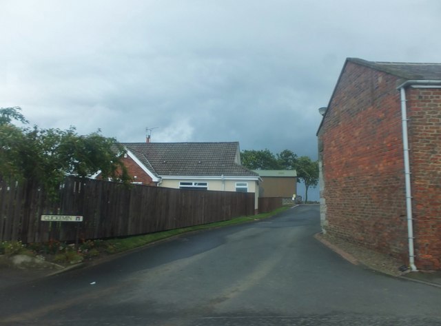
Image: © Barbara Carr Taken: 15 Sep 2013
This is a curious name - the closest I can find is Clickhimin (several places in Scotland), which is said to come from Old Norse: 'klakk' meaning 'rock, and 'minni' meaning 'mouth'. Ponteland is generally accepted to mean 'island in the {river} Pont', so perhaps Clickemin originally stood at the rocky mouth of a tributary of the Pont.
Images are licensed for reuse under creativecommons.org/licenses/by-sa/2.0
Image Location
Latitude
55.048508
Longitude
-1.733744