Ridgely Drive
Introduction
The photograph on this page of Ridgely Drive by Barbara Carr as part of the Geograph project.
The Geograph project started in 2005 with the aim of publishing, organising and preserving representative images for every square kilometre of Great Britain, Ireland and the Isle of Man.

There are currently over 7.5m images from over 14,400 individuals and you can help contribute to the project by visiting https://www.geograph.org.uk
Ridgely Drive
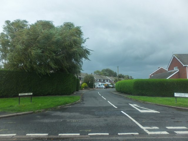
Image: © Barbara Carr Taken: 15 Sep 2013
Housing area to the southeast of Ponteland, on a stormy day in mid-September (note the turbulence in the trees to the left).
Images are licensed for reuse under creativecommons.org/licenses/by-sa/2.0
Image Location
Latitude
55.045802
Longitude
-1.729224