The Ridings, Rothley
Introduction
The photograph on this page of The Ridings, Rothley by Alan Murray-Rust as part of the Geograph project.
The Geograph project started in 2005 with the aim of publishing, organising and preserving representative images for every square kilometre of Great Britain, Ireland and the Isle of Man.

There are currently over 7.5m images from over 14,400 individuals and you can help contribute to the project by visiting https://www.geograph.org.uk
The Ridings, Rothley
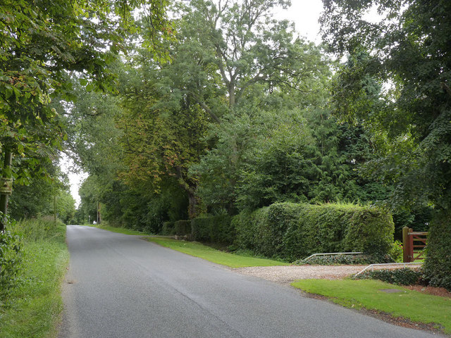
Image: © Alan Murray-Rust Taken: 8 Sep 2013
This part of the village consists of large houses, a community which would have developed as a result of the proximity of Rothley Station allowing easy access to the city for wealthy Leicester businessmen. (Not obvious in the view, the map tells the story!)
Images are licensed for reuse under creativecommons.org/licenses/by-sa/2.0
Image Location
Latitude
52.710445
Longitude
-1.150044