Manor Farmhouse, Burstock
Introduction
The photograph on this page of Manor Farmhouse, Burstock by Vieve Forward as part of the Geograph project.
The Geograph project started in 2005 with the aim of publishing, organising and preserving representative images for every square kilometre of Great Britain, Ireland and the Isle of Man.

There are currently over 7.5m images from over 14,400 individuals and you can help contribute to the project by visiting https://www.geograph.org.uk
Manor Farmhouse, Burstock
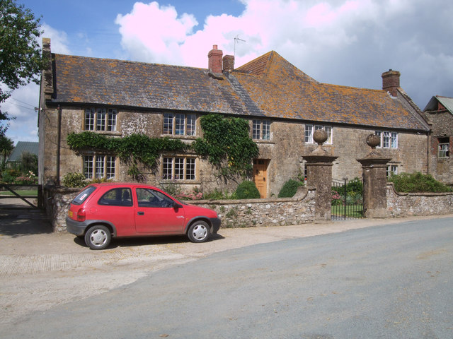
Image: © Vieve Forward Taken: 10 Sep 2013
Early 18th century Grade II Listed stone farmhouse.http://www.britishlistedbuildings.co.uk/en-400591-manor-farmhouse-and-attached-front-wall- The two-storey farmhouse consists of a front range and rear wing, and has a slate roof and stone gable-copings. The symmetrical façade contains mullioned windows. Included in the listing are the 18th century chert-rubble wall and ashlar gate-piers large ball-finials in front of the house.
Images are licensed for reuse under creativecommons.org/licenses/by-sa/2.0
Image Location
Latitude
50.823986
Longitude
-2.824097