Denton Town Hall
Introduction
The photograph on this page of Denton Town Hall by Gerald England as part of the Geograph project.
The Geograph project started in 2005 with the aim of publishing, organising and preserving representative images for every square kilometre of Great Britain, Ireland and the Isle of Man.

There are currently over 7.5m images from over 14,400 individuals and you can help contribute to the project by visiting https://www.geograph.org.uk
Denton Town Hall
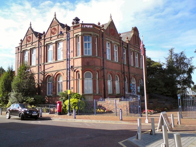
Image: © Gerald England Taken: 9 Sep 2013
Denton was originally one of the townships of the ancient parish of Manchester in the Salford Hundred of Lancashire. In 1866 it became a civil parish in its own right. The parish was expanded in 1894 by the inclusion of the Haughton township and the enlarged parish became Denton Urban District in the administrative county of Lancashire. In 1974 Denton's Urban District status was abolished and its assets and area were transferred to form part of the new Metropolitan Borough of Tameside in the metropolitan county of Greater Manchester.
Images are licensed for reuse under creativecommons.org/licenses/by-sa/2.0
Image Location
Latitude
53.45503
Longitude
-2.114562