Towards Bilson Mission Cinderford
Introduction
The photograph on this page of Towards Bilson Mission Cinderford by Jaggery as part of the Geograph project.
The Geograph project started in 2005 with the aim of publishing, organising and preserving representative images for every square kilometre of Great Britain, Ireland and the Isle of Man.

There are currently over 7.5m images from over 14,400 individuals and you can help contribute to the project by visiting https://www.geograph.org.uk
Towards Bilson Mission Cinderford
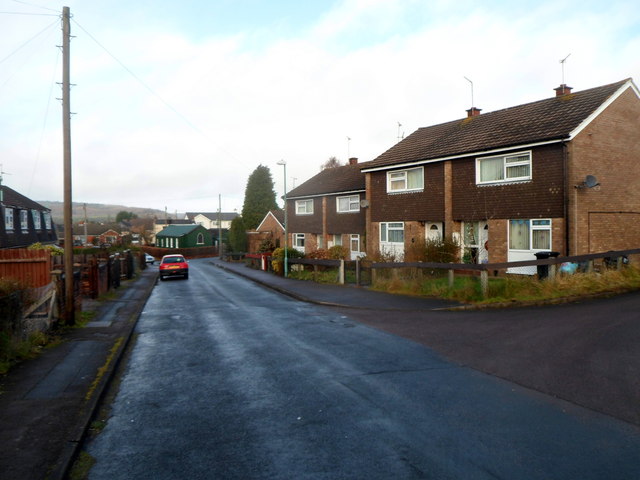
Image: © Jaggery Taken: 16 Dec 2012
This road is unnamed. Instead, the groups of houses are named - Hollydean on the left and Elmdean on the right. A green tin church http://www.geograph.org.uk/photo/3655572 is in the background.
Images are licensed for reuse under creativecommons.org/licenses/by-sa/2.0
Image Location
Latitude
51.828123
Longitude
-2.504488