Mansfield, Notts.
Introduction
The photograph on this page of Mansfield, Notts. by David Hallam-Jones as part of the Geograph project.
The Geograph project started in 2005 with the aim of publishing, organising and preserving representative images for every square kilometre of Great Britain, Ireland and the Isle of Man.

There are currently over 7.5m images from over 14,400 individuals and you can help contribute to the project by visiting https://www.geograph.org.uk
Mansfield, Notts.
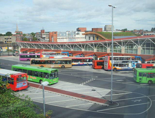
Image: © David Hallam-Jones Taken: 13 Sep 2013
A view of the new (replacement) bus station, off Quaker Way, from the new, glass-enclosed footbridge that links it to the railway station. The footbridge provides views of the bus parking zone and parts of the town too. It opened in March 2013.
Images are licensed for reuse under creativecommons.org/licenses/by-sa/2.0
Image Location
Latitude
53.142999
Longitude
-1.198492