Mansfield, Notts.
Introduction
The photograph on this page of Mansfield, Notts. by David Hallam-Jones as part of the Geograph project.
The Geograph project started in 2005 with the aim of publishing, organising and preserving representative images for every square kilometre of Great Britain, Ireland and the Isle of Man.

There are currently over 7.5m images from over 14,400 individuals and you can help contribute to the project by visiting https://www.geograph.org.uk
Mansfield, Notts.
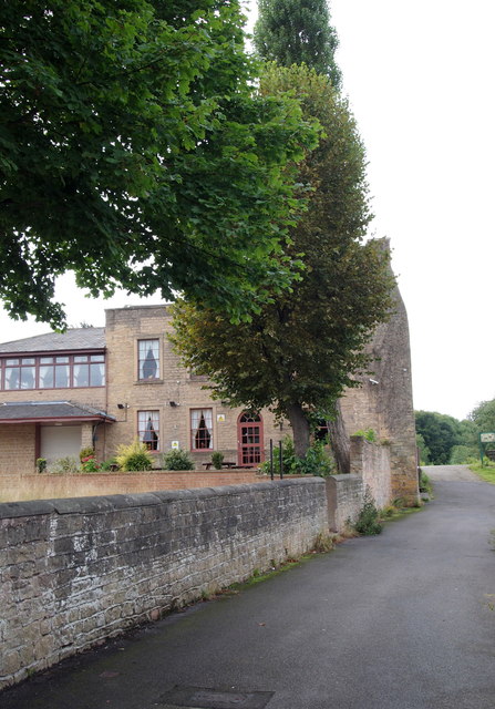
Image: © David Hallam-Jones Taken: 13 Sep 2013
This is a service road that branches off Nottingham Road and terminates at the rear of a commercial laundry, i.e. its loading and unloading area are situated off-right. Field Mill House, currently an Indian restaurant, was the mill manager's house. The former mill pond lies at the top of the gentle slope ahead. This area is an integral part of the Maun Valley Trail.
Images are licensed for reuse under creativecommons.org/licenses/by-sa/2.0
Image Location
Latitude
53.137513
Longitude
-1.198146