Plas Newydd, Southend
Introduction
The photograph on this page of Plas Newydd, Southend by David Kemp as part of the Geograph project.
The Geograph project started in 2005 with the aim of publishing, organising and preserving representative images for every square kilometre of Great Britain, Ireland and the Isle of Man.

There are currently over 7.5m images from over 14,400 individuals and you can help contribute to the project by visiting https://www.geograph.org.uk
Plas Newydd, Southend
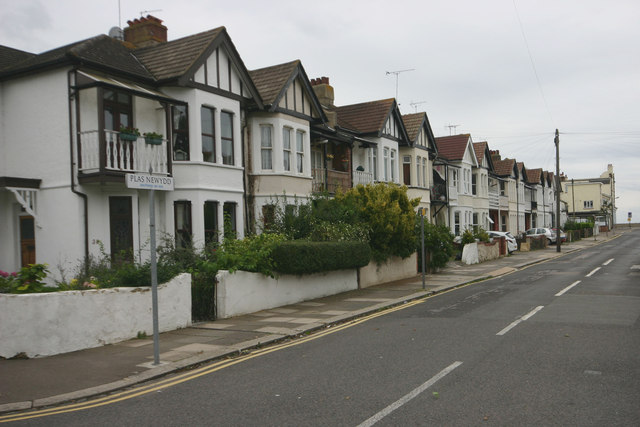
Image: © David Kemp Taken: 15 Sep 2013
Despite its name this is not a suburban road in Wales. For many years I've wondered why this street in Southend was so named but am still none the wiser. The turning that can just be made out near the far end is the equally oddly-named Capadocia Street. Taken from Shaftesbury Avenue looking towards the estuary.
Images are licensed for reuse under creativecommons.org/licenses/by-sa/2.0
Image Location
Latitude
51.531363
Longitude
0.742938