View SSW from B6295 near Dirt Pot
Introduction
The photograph on this page of View SSW from B6295 near Dirt Pot by Stanley Howe as part of the Geograph project.
The Geograph project started in 2005 with the aim of publishing, organising and preserving representative images for every square kilometre of Great Britain, Ireland and the Isle of Man.

There are currently over 7.5m images from over 14,400 individuals and you can help contribute to the project by visiting https://www.geograph.org.uk
View SSW from B6295 near Dirt Pot
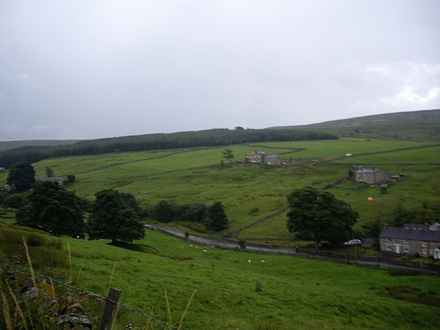
Image: © Stanley Howe Taken: 22 Aug 2013
Over disused mine shafts, and the River East Allen at Dovespool.
Images are licensed for reuse under creativecommons.org/licenses/by-sa/2.0
Image Location
Latitude
54.808649
Longitude
-2.228987