Gipsy Lane
Introduction
The photograph on this page of Gipsy Lane by jeff collins as part of the Geograph project.
The Geograph project started in 2005 with the aim of publishing, organising and preserving representative images for every square kilometre of Great Britain, Ireland and the Isle of Man.

There are currently over 7.5m images from over 14,400 individuals and you can help contribute to the project by visiting https://www.geograph.org.uk
Gipsy Lane
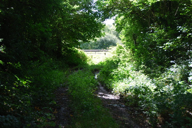
Image: © jeff collins Taken: 14 Sep 2013
This is the end of Gipsy Lane where it meets the cycle path by the busy A38.
Images are licensed for reuse under creativecommons.org/licenses/by-sa/2.0
Image Location
Latitude
50.386386
Longitude
-3.942819